24
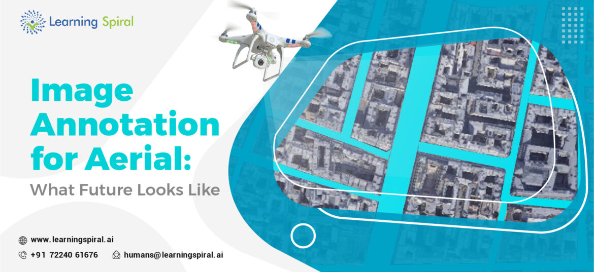
AugAerial imagery, captured from drones, satellites, or airplanes, has become an indispensable tool for various industries. To unlock the full potential of this data, image annotation plays a crucial role. This process involves labeling objects, features, or areas within aerial images to provide context and structure. Key Applications of Aerial Image Annotation Here are the following places […]