

23
JulAI models often fail not because the algorithm is weak, but because the training data is incomplete, inconsistent or incorrectly labeled. Data annotation converts raw images, videos, text, audio and sensor data into structured examples that help machine learning systems understand real-world information accurately.
08
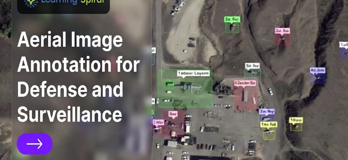
JulDefense and surveillance programs increasingly run on aerial imagery, yet most computer vision models still stumble on tiny, cluttered, top-down objects. The gap usually isn’t the algorithm — it’s the annotation pipeline underneath it. Here’s how disciplined aerial image annotation closes that gap.