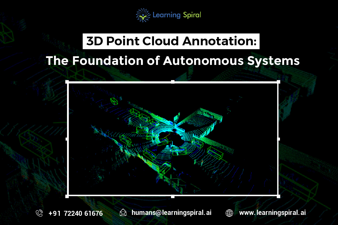
3D point cloud annotation is a critical process in the development of advanced AI systems, particularly those involved in perception and understanding of the real world.
It involves labeling and annotating objects within a 3D point cloud, which is a set of data points representing the surface of an object or scene. This data is typically captured using sensors like LiDAR or RGB-D cameras.
Understanding 3D Point Cloud Annotation 
3D point cloud annotation is a complex task that requires expertise. It involves accurately identifying and labeling various objects within a point cloud, such as vehicles, pedestrians, traffic signs, and road markings. Annotators may also be required to define object attributes like dimensions, orientation, and velocity.
The process often includes:
- Object Detection and Classification: Identifying and categorizing different objects within the point cloud.
- Object Segmentation: Dividing the point cloud into distinct segments corresponding to different objects.
- Object Tracking: Labeling objects across multiple frames to track their movement and behavior.
- Attribute Annotation: Adding additional information about objects, such as dimensions, orientation, and velocity.
Applications of 3D Point Cloud Annotation
The applications of 3D point cloud annotation are vast and diverse. Some of the most prominent areas include:
- Autonomous Vehicles:
Accurate 3D perception of the environment is crucial for self-driving cars. Point cloud annotation helps train AI models to detect obstacles, pedestrians, and other vehicles, enabling safe navigation.
- Robotics:
Robots rely on 3D data to understand their surroundings and interact with objects. Point cloud annotation helps develop robots capable of performing tasks in complex environments.
- Augmented Reality (AR):
Creating realistic AR experiences requires accurate 3D mapping of the environment. Point cloud annotation provides the necessary data for building virtual objects that seamlessly blend with the real world.
- Urban Planning:
Analyzing 3D point cloud data of cities can help urban planners identify areas for improvement, optimize infrastructure, and assess the impact of proposed developments.
Challenges and Future Trends
While 3D point cloud annotation is essential, it also presents significant challenges. The large volume of data involved, the complexity of 3D objects, and the need for high accuracy require advanced tools and skilled annotators. Additionally, ensuring data privacy and security is crucial when handling sensitive information.
Future trends in 3D point cloud annotation include increased automation through AI-assisted annotation tools, the development of standardized annotation formats, and the integration of point cloud data with other sensor modalities, such as cameras and radar.
As technology continues to advance, 3D point cloud annotation will play an increasingly vital role in shaping the future of AI and its applications across various industries.
Would you like to know more about specific use cases or challenges in 3D point cloud annotation? Comment below and Learning Spiral AI will solve the query for you.