
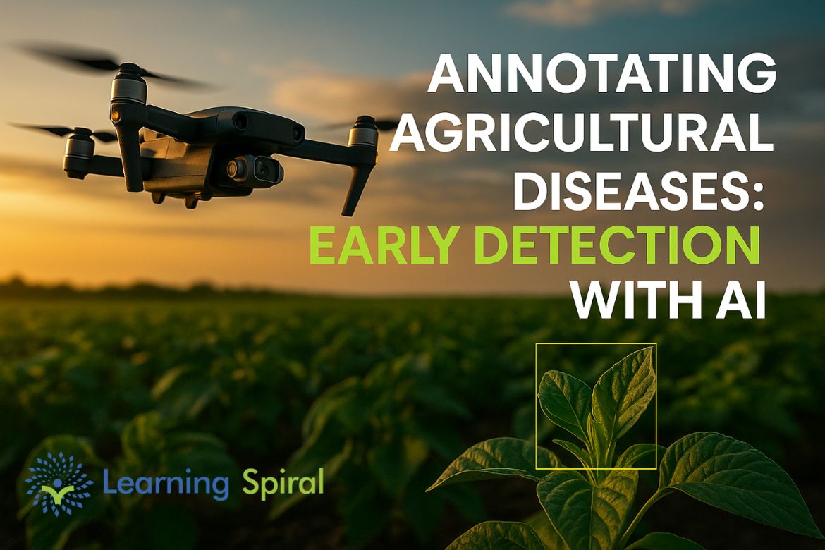
In the age of precision agriculture, early detection of crop diseases is becoming vital for food security, yield protection, and sustainable farming. With the help of AI-powered agricultural disease detection, farmers can identify plant stress, fungal infections, and nutrient deficiencies long before they spread. At the heart of this innovation lies data annotation, which transforms raw agricultural images into powerful datasets for training reliable AI models.
The Importance of Early Disease Detection in Agriculture
Crop diseases such as blight, mildew, rust, and bacterial spots cause billions in global yield losses every year. Traditional detection methods are often slow and reactive, but AI offers real-time agricultural disease monitoring by analyzing annotated datasets at scale.
-
Early alerts help prevent outbreaks.
-
Targeted pesticide use reduces chemical dependence.
-
Efficient interventions save both time and resources.
How Data Annotation Powers AI in Agriculture
1. Image Annotation for Plant Disease Detection
Annotated images of crops—labeled pixel-wise or with bounding boxes—train AI to spot disease symptoms invisible to the human eye. Examples include:
-
Bounding Box Annotation → Detecting fruit rot or leaf discoloration.
-
Polygon Annotation → Mapping irregular disease patches.
-
Semantic Segmentation → Identifying fungal infections like leaf blight.
2. Drone & Satellite Imagery Analysis
High-resolution drone and satellite images, when annotated, allow AI models to detect stress areas across vast farmlands. Farmers can then receive real-time disease alerts, enabling preventive actions before damage escalates.
Benefits of AI-Powered Agricultural Disease Detection
-
✅ Early Diagnosis for Crop Protection
-
✅ Reduced Pesticide and Chemical Usage
-
✅ Real-Time Disease Monitoring
-
✅ Enhanced Yield and Resource Optimization
Learning Spiral AI: Driving Smart Farming with Expert Annotation
At Learning Spiral AI, we provide high-accuracy, scalable image annotation services tailored for agriculture and agri-tech innovations. Our expert teams ensure datasets are precisely labeled—empowering AI developers, researchers, and agri-tech companies to build disease detection systems that deliver real-world impact.
Whether it’s fruit rot detection with bounding boxes or pixel-perfect segmentation of leaf blight, Learning Spiral AI delivers annotation solutions that help farmers transition toward smarter, more sustainable farming practices.
Conclusion
The future of farming lies in AI-enabled early disease detection powered by expertly annotated datasets. By partnering with Learning Spiral AI, agri-tech innovators and farmers can ensure healthier crops, reduced losses, and sustainable practices—transforming agriculture with precision and intelligence.