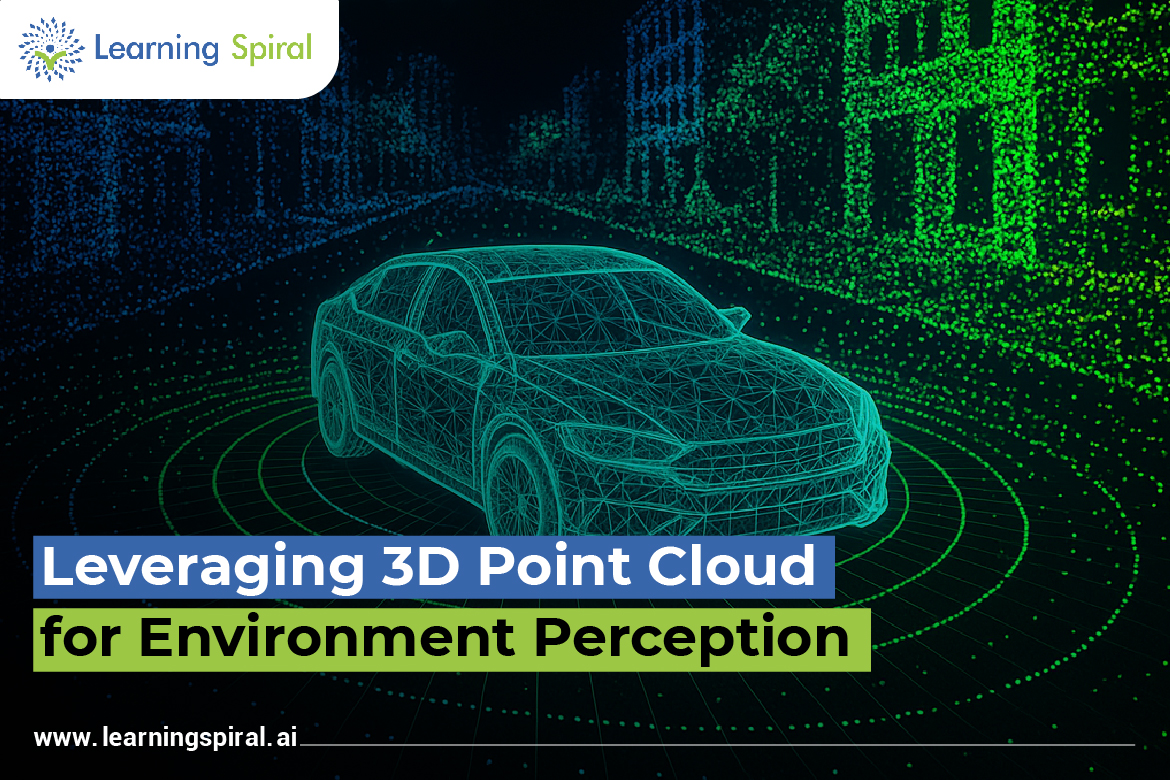
In the world of autonomous systems, understanding the surrounding environment with high precision is vital. One of the most powerful tools enabling this is the 3D Point Cloud—a collection of spatial data points representing the shape and location of objects in a three-dimensional space.
3D point clouds are extensively used in environment perception for autonomous vehicles, robotics, and smart surveillance systems. By capturing millions of data points using LiDAR or stereo vision, these systems can build real-time 3D maps, detect obstacles, and make intelligent navigation decisions.
However, to convert this raw data into actionable insights, accurate annotation is essential. This is where 3D point cloud annotation plays a critical role. It involves labeling objects within the point cloud data—such as pedestrians, vehicles, road signs, or infrastructure—to train AI models for object detection and spatial understanding.
At Learning Spiral AI, we specialize in 3D point cloud annotation services that empower companies developing autonomous vehicles, drones, and robotics. Our skilled annotation team uses advanced tools to label LiDAR data with precision, ensuring every point contributes to a model’s learning accuracy. We offer bounding box annotation, semantic segmentation, and instance labeling, tailored to meet industry-specific needs.
In addition to 3D annotation, Learning Spiral AI provides a full suite of data annotation services, including image labeling, video annotation, audio annotation, and text annotation. Whether it’s a self-driving car recognizing road edges or a robot identifying its path, our annotations enable smarter decisions and safer automation.
With high-quality, scalable data labeling solutions, Learning Spiral AI supports the AI lifecycle from start to scale—ensuring your models are not just trained, but truly intelligent.